Overview of CAD-Earth 8
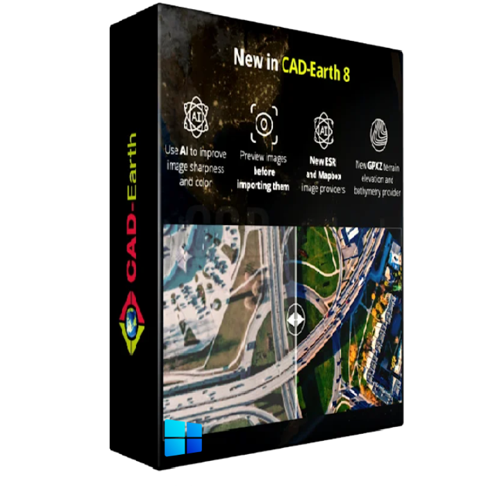
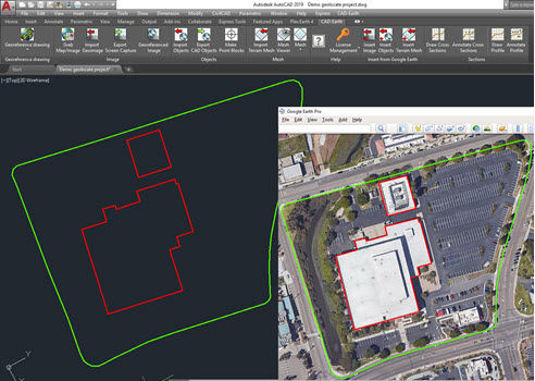
CAD-Earth 8 is a software application developed by Arqcom to support the exchange of geospatial data between CAD (Computer-Assisted Design) software and popular GIS (Geographic Information Systems) platforms such as Google Earth and Microsoft Bing Maps. It provides tools and functions to import/export georeferenced images, terrain models, and other spatial data, allowing CAD users to incorporate real-world geographic information into their designs. they.
Features of CAD-Earth 8 for AutoCAD
- Easy to use commands. You can pick CAD-Earth commands from a toolbar, the screen menu, or the command prompt. Automatic command loading in each CAD session and extensive help in each step.
- Persistent dialog box settings. Once you set options for a dialog box, they are automatically saved. Therefore, you don’t have to set them each time you use a CAD-Earth command.
- Dynamic object updating. The corresponding contour lines, profiles, or sections are dynamically updated when you modify object settings.
- Free direct technical assistance by the programmers. You can request new features and technical support directly from the programmers on the CAD-Earth menu. Remote technical support via TeamViewer is available on request at no extra charge.
Technical Details and System Requirements
- CAD Compatibility: AutoCAD 2017-2022
- Supported OS: Windows 11 / Windows 10 / Windows 8.1 /Windows 7
- Processor: Multi-core Intel i5 Series or above, Xeon or AMD equivalent
- RAM: 4GB (8GB or more recommended)
- Free Hard Disk Space: 1GB or more recommended
- Version: 8








Reviews
There are no reviews yet.